
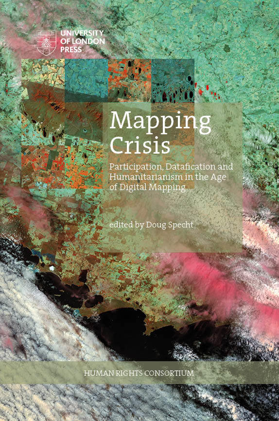
| Title | Mapping Crisis |
|---|---|
| Subtitle | Participation, Datafication and Humanitarianism in the Age of Digital Mapping |
| Contributor | Doug Specht(opens in new tab)(editor) |
| DOI | https://doi.org/10.14296/920.9781912250387(opens in new tab) |
| Landing page | https://uolpress.co.uk/book/mapping-crisis/(opens in new tab) |
| License | https://creativecommons.org/licenses/by-nc-nd/4.0/(opens in new tab) |
| Copyright | Authors |
| Publisher | University of London Press |
| Publication place | London, GB |
| Published on | 2020-09-14 |
| ISBN | 978-1-912250-33-2 (Paperback) |
| 978-1-912250-38-7 (PDF) | |
| 978-1-912250-56-1 (HTML) | |
| 978-1-912250-37-0 (EPUB) | |
| Short abstract | This book brings together critical perspectives on the role that mapping people, knowledges and data now plays in humanitarian work, both in cartographic terms and through data visualisations, and questions whether, as we map crises, it is the map itself that is in crisis. |
| Long abstract | The digital age has thrown questions of representation, participation and humanitarianism back to the fore, as machine learning, algorithms and big data centres take over the process of mapping the subjugated and subaltern. Since the rise of Google Earth in 2005, there has been an explosion in the use of mapping tools to quantify and assess the needs of those in crisis, including those affected by climate change and the wider neo-liberal agenda. Yet, while there has been a huge upsurge in the data produced around these issues, the representation of people remains questionable. Some have argued that representation has diminished in humanitarian crises as people are increasingly reduced to data points. In turn, this data has become ever more difficult to analyse without vast computing power, leading to a dependency on the old colonial powers to refine the data collected from people in crisis, before selling it back to them. This book brings together critical perspectives on the role that mapping people, knowledges and data now plays in humanitarian work, both in cartographic terms and through data visualisations, and questions whether, as we map crises, it is the map itself that is in crisis. |
| Print length | 276 pages |
| Language | English (Original) |
| Dimensions | 152 x 19 x 229 mm | 6" x 0.76" x 9" (Paperback) |
| Weight | 505g | 17.88oz (Paperback) |
| Media | 34 illustrations |
| THEMA |
|
| BIC |
|
| BISAC |
|
| Keywords |
|